About oahupictures.org
- Unlike most websites about the island of Oahu, oahupictures.org presents aerial videos and interactive aerial 360° panoramas of the island in a documentary manner. The site shows content captured as a hobby by an amateur photographer and certificated quadcopter (drone) pilot who lived on Oahu for 43 years until February of 2019.
- Most of the videos were taken flying along beaches, filmed in a manner unlikely to disturb or offend anyone. Most of the 360° photos were taken in public parks or on school grounds on weekends.
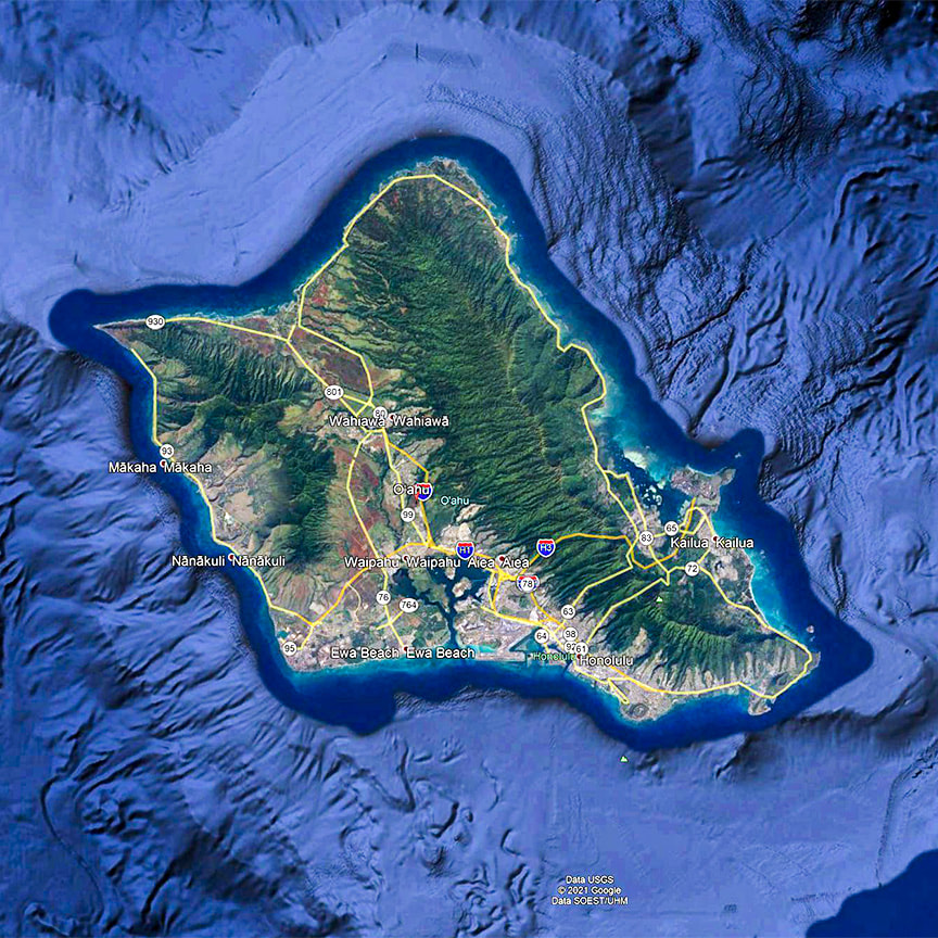
- Going counterclockwise, the videos of the shoreline (with a few very small gaps) go from the east end of Ala Moana Park to the Kaiwi coast, from Makapuu Pt. up the entire windward side to Kahuku Pt., and along the north shore to Haleiwa. On the Waianae coast, the shoreline videos go clockwise from Kahe Pt. to Kaena Pt. Altogether, approximately 75% of the shoreline is videoed, with missing areas excluded due to FAA drone-flight restrictions.
- To view the 360s, click on the image of a map; then scroll or swipe left/right and up/down. Zoom in and out, as well.
- Although the preference ideally would have been to do otherwise, Hawaiian place names are given without diacritical marks so as to facilitate viewers' electronic searches of the site.
- Please send questions or comments in the boxes below.
